


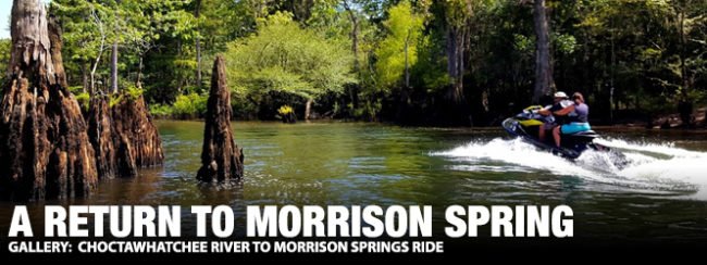
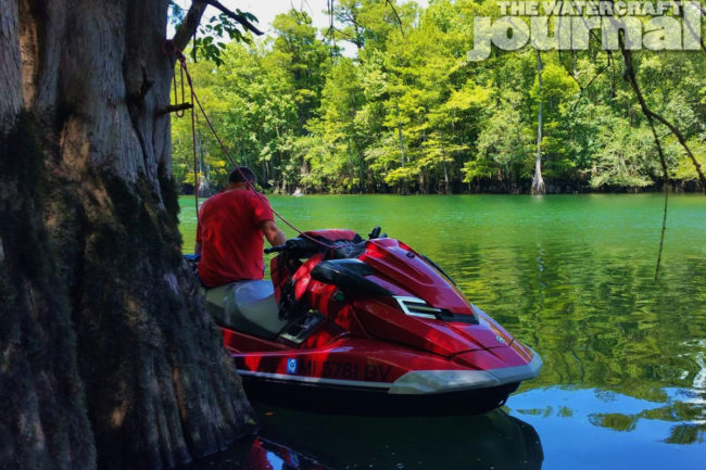
Offering sugar white sands, crystal waters, and abundant sunshine is what makes the Florida panhandle a destination spot among summer vacationers. Arguably, and for those same vacationers, it is one of Florida’s best-kept secrets that offers plenty of the same. My first visit to a spring was over 30 years ago – Morrison Spring – while seeking my certification as a SCUBA diver. Currently, there are approximately 1,000 known springs in Florida; what follows is our PWC trip to visit two: Washington Blue Spring and Morrison Spring. For today’s ride, we elected to drop-in at Black Creek Marina Lodge, located just due northeast of Choctawhatchee Bay. I noticed my ski had followed me to the ramp – obviously it was the only item I managed to bring: Rack and auxiliary fuel/tanks – forgotten at home (thanks Axel and Rick), drinking water – didn’t pack (thanks Troy), batteries for the GPS – left at the condo (thanks, again, Axel). Yeah, it was a slow start.
With all the bikes dropped, Axel went on point and within a few minutes, despite the fact we weren’t going into the bay, we had found the bay. Axel was guiding from memory and a few dropped waypoints. Not easy to do in an area that has numerous confluences into a large bay. Axel eventually found the true way – first in the Rushing Cutoff and then the Mitchell River until we found the Choctawhatchee River proper. It wasn’t long as we cruised along the lower river when something very large made quite a splash in the water about 100 yards in front of our group. A half-mile later, it happened again, but this time I saw the culprit: Gulf Sturgeon. I moved alongside Axel who confirmed the same and we passed the word to use caution. Sturgeon, albeit rare, have confirmed fatalities. When agitated, they leap out of the water. Growing in excess of 6 feet and to 200 pounds, it doesn’t take much imagination to figure the results of a collision.

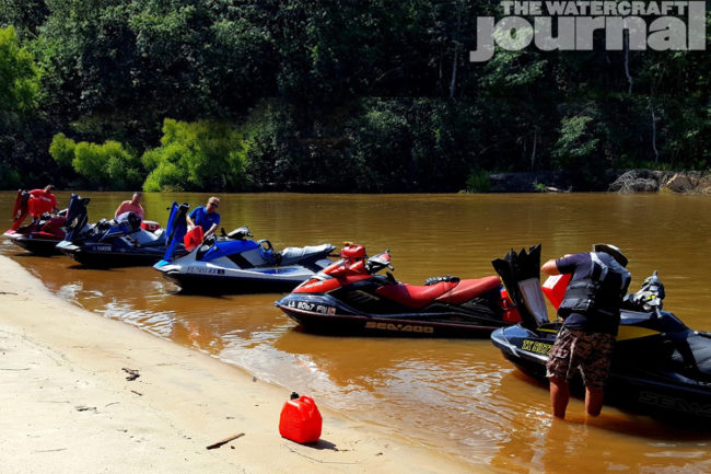
Above left: Group fuel dump on the lower Choctawhatchee River. Above right: Slipping into Mills Branch.
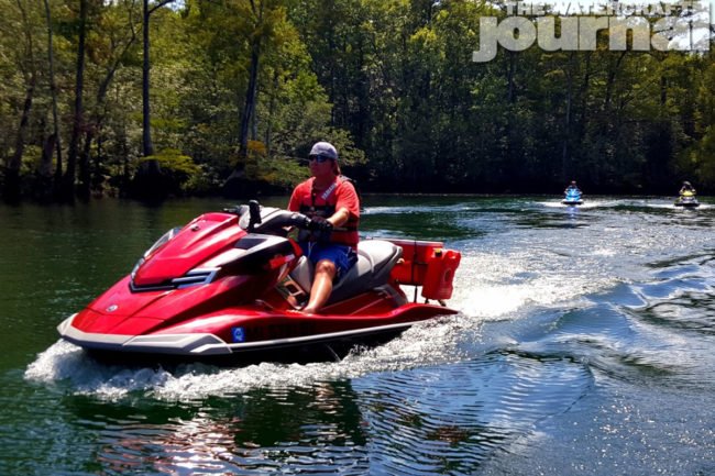
Despite the auxiliary tanks, we purposely ran at a mild cruising speed of 35 mph to conserve fuel. Eighteen miles in and about 3 miles below the Hwy 20 bridge, we found a wonderful sandbar complete with plenty of shade and rope-swings. We took in the shade and some cold drinks, remounted, and continued our trek north. The Choctawhatchee River is a dynamic flow of water. Compared to the 2008 chart on my GPS, the river has changed directions numerous times. With a number of false leads, I considered the route nearly impossible if not for local knowledge or a pre-routed GPS. Every few miles, the river appears to transform itself. At times, the river recedes into the swamp consisting of cypress, tupelo gum, and willow trees. Go around the bend and your subject to see sand bars or high bank flanked with oaks and pine trees.
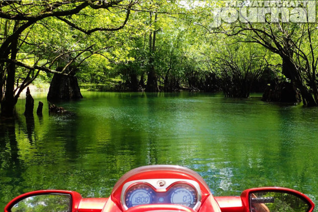
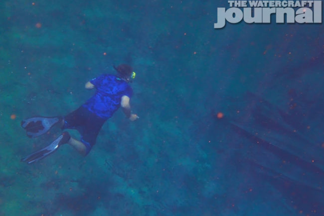
Seven miles north of the bridge we had finally found our first spring where Mills Branch enters from the river’s east bank. There was a definite mixing of the creek’s tea-colored water with the river’s caramel color. Further in, the water really transformed: Brown turned to black and black finally went to turquoise-clear. Axel throttled down to just below plane and the final 300 yards we idled in where the creek ended in the small lagoon that is Washington Blue Spring. The spring was flowing, evident from the boil on the water surface, although the source was 20 feet deep. The water was cold. Exiting the vent at 68 degrees, it was a wonderful contrast to the hot and humid Florida air. While most of the group waded near the bank, only Axel and myself took a dip.
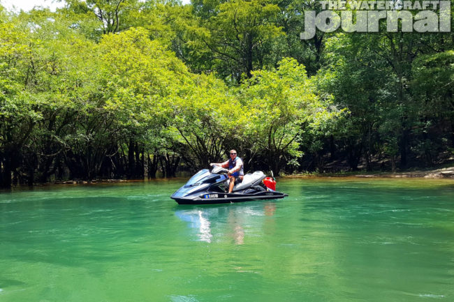
Above left: Rick checks out the boil in Washington Blue Spring. Above right: Michael takes to the shade in Morrison Spring.
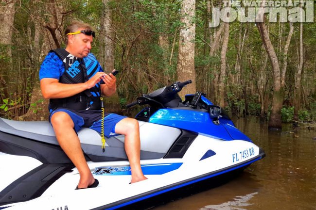
Back on the bikes, we exited the creek and trekked further north. Bringing up the rear, Troy, riding two-up with his wife Debra, motioned me to slow. “How much further? -Because I’m pretty sure I’m not going to have enough gas to get back.” I checked my ’76 and noticed the spring was literally around the next bend. Then I noticed the mileage: 53. Yeah, this was going to be close. We rounded the bend, caught up with Axel, Michael, and Rick and finally made the lagoon of Morrison Spring. Morrison Springs pumps out nearly 50 million gallons of fresh, clear, and cold groundwater each day. Now county owned, it’s a “commercialized” attraction but more than worth the visit. Although it was a weekday, there was about 100 visitors in the park during our stay. Dozens of kids lined the swim platforms, dozens more on the patch of beach accessing the water, and a number of paddlers and snorkelers. We even saw two groups of divers exploring the water.
We approached the left-side tree line at NWZ speed and moored in the shade. Again, only and Axel and myself tested the waters. The lagoon is large enough that the water is comfortable until directly over the boil coming from the vent 45 feet below. With our mask and fins on, we checked out the environment below the surface. There was a bubble column exiting the vent, a sure sign that divers were in the cave. Also out in the spring’s center were two young teenagers taking turns making free dives to the vent. It was quite impressive to see the kids making skilled yet dangerous descents. Axel gave it a go as well and managed a half descent down to 20 feet. After snapping a few pix, we snorkeled back to the group hanging out in the shade. We discussed our plans for the ride back including the refueling situation. Departing the creek, and at Mike’s suggestion, we opted to take a side-creek exit that paralleled the river for almost half a mile. I elected to to check out the virgin exit, pushed it out, and gained the point for half the ride home.
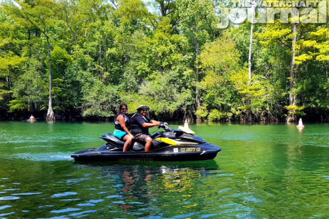
Above left: TX plates in the FL panhandle: Troy and Debra explore Morrison Spring. Above right: Axel dives down towards the Morrison Spring vent.
It wasn’t too long on the return trip that low-fuel buzzers started going off. Troy was the first to sign, which meant we could travel another 15 miles before the tanks were close to dry. We ran a few miles further and beached on a nice stretch of sand near where Holmes Creek enters the river. At Axel’s advice, all but myself dumped an auxiliary tank – it would be hard to find a decent sandbar once we got below the Hwy. 20 bridge. The original plan was to explore upstream in Holmes Creek but since our mileage was getting near three digits, we elected to save it for another day.
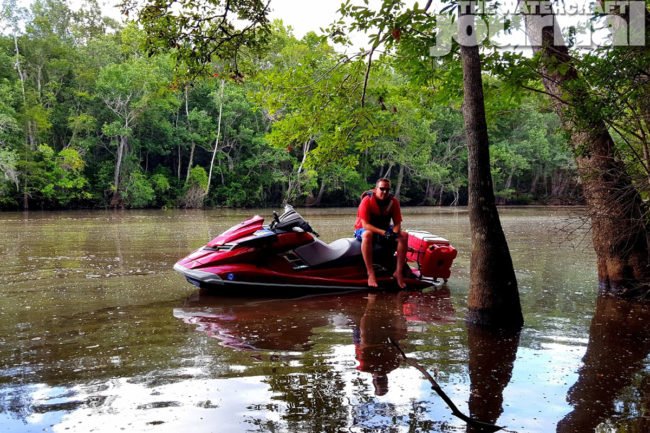
At mm 77 my buzzer went off. Now riding sweeper since the last pit stop, I fell further behind trying to save on fuel. Rick checked up and waited; catching him, I told him, “I need a sandbar…” At 15 miles after the buzzer I finally opted for a slough in a dead-end that branched off the main channel. We were well below the bridge and there was no sand to be found. I paid for not refueling with the rest of the gang by having to wrestle in knee-deep mud on the edge of the swamp. Axel helped me steady the ski while the rest patiently waited as I dropped 4 gallons. All back together and with no concern of fuel issues; we made the final sprint for home by letting out a few more ponies. Arriving back at Black Creek Marina, our GPSs synced reporting a total of 101 miles for the day. The Choctawhatchee and its tributary springs are worth the effort. Extra fuel, food and drink, snorkeling gear, and friends should all be a part of this trip. I’ll be back and will plan to include a few miles for Holmes Creek on my next trip as well.
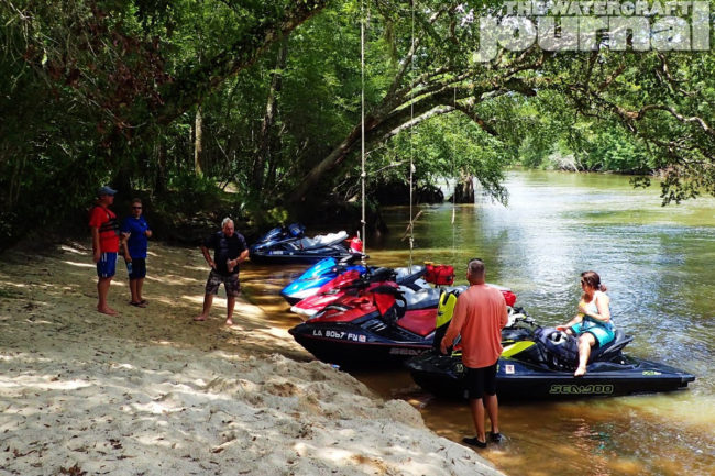
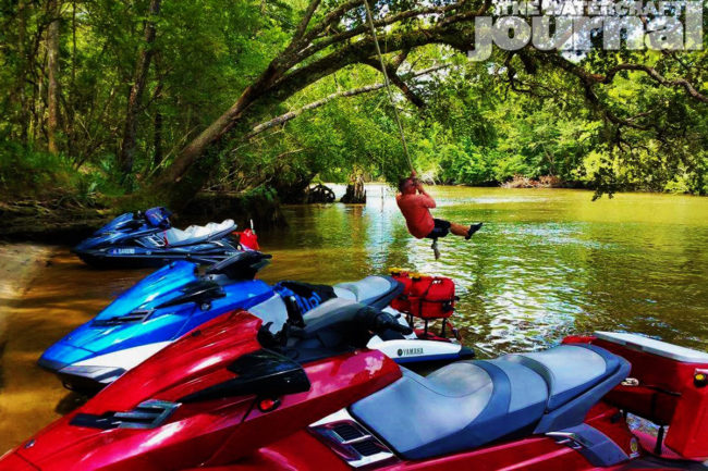
Above left: Sand, shade, swings, and skis – a great rest area along the lower Choctawhatchee.


“ Choctawhatchee River to Morrison Springs; A Return to Morrison Spring” a trip Report by Billy Crews Jr., can be read in its original entirety at PWCTrailfinder.com.