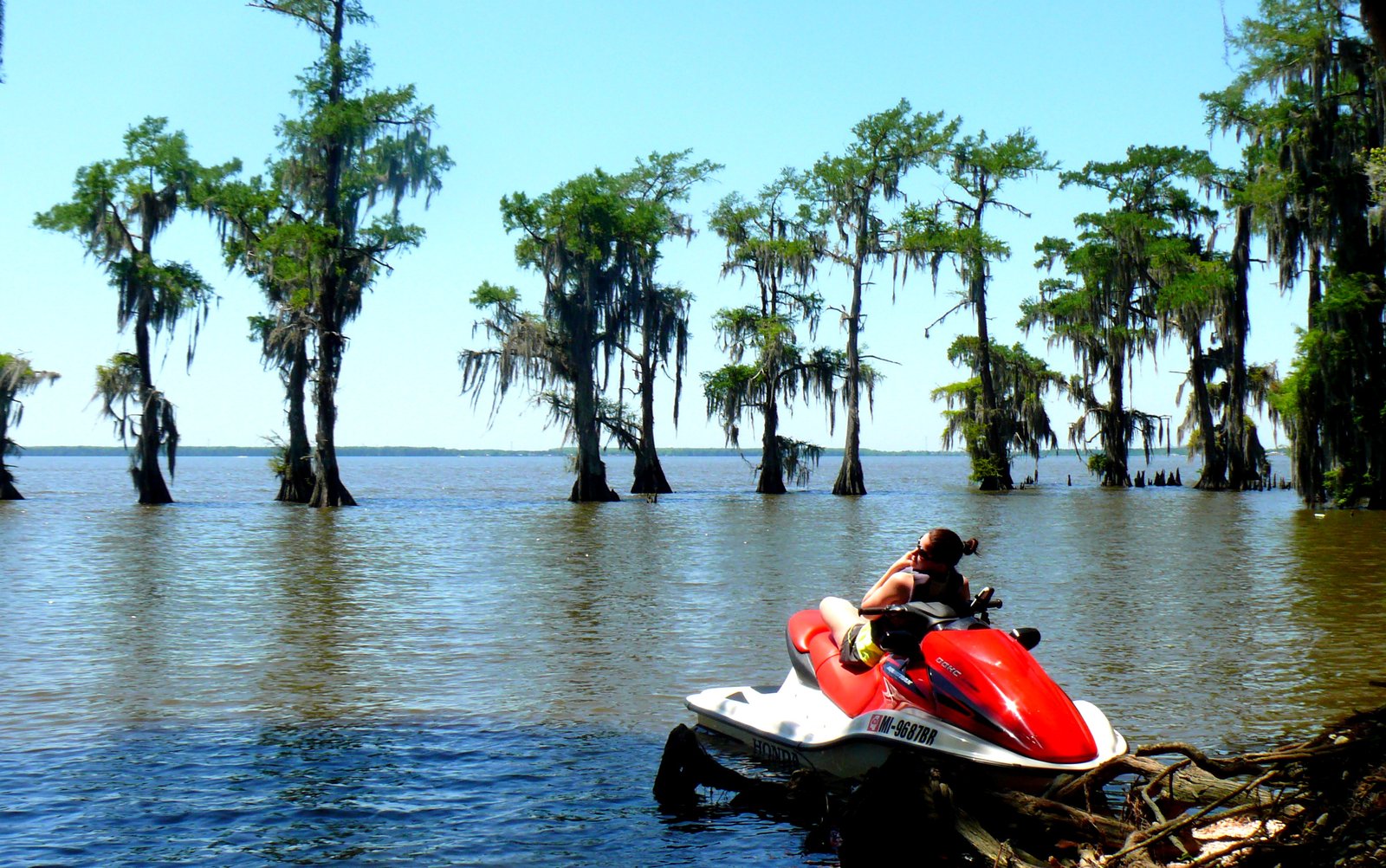
Watercraft Journal: Billy, your website PWCTrailFinder.com is unlike any other, where enthusiasts can go to peruse a huge catalog of long distance/adventure ride routes. How’d you get started?
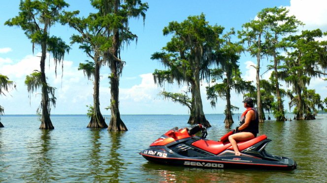
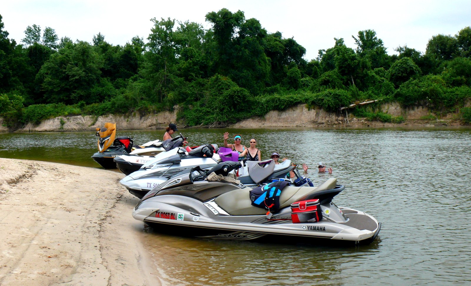
Billy Crews Jr: It was during my first Mudbug (Greenhulk’s annual PWC rally in Morgan City, Louisiana) that I realized that the majority of the visiting PWCers hardly knew the waterways surrounding the area. In the years following my first Mudbug, I and a few other locals, took it upon ourselves to guide some organized tours off the beaten path.
WCJ: Was that the spark that started you mapping your routes?
BC: During my first year of guiding, I had just purchased the latest and greatest version of the Garmin 76 series handheld GPS mapping unit. Between my guided tours and my recreational rides with my Louisiana regulars, it didn’t take long to build a small library of Southern Louisiana “trails.”
WCJ: Is that what spurred you into creating PWCTrailFinder.com?
BC: To build the website, I solicited the help of my longtime friend, Shawn McKee. Shawn is an IT guy when in the office and a true adventurist when out. Together, we constructed about three different versions of the site before deciding on the one that exist today.
WCJ: How did you discover all of these new routes?
BC: Mostly through connections made via the forums and previous Mudbug events, I’d get an email or call of a fellow PWCer heading back to LA wanting to know if I had any “new to them” trails they could go ride. If my schedule allowed, I’d sometimes guide them and when not, I’d supply the data electronically along with written instructions of “do’s” and “don’ts”. This was when I really started searching on the internet for information about where one could find a place to ride a PWC – and found out that no true database exist. I found it somewhat intriguing that perhaps I could build the first electronic library for PWC riding purposes.
WCJ: What’s the longest “trail” you have ridden?
BC: To date, my personal best is a single-day 225 mile one way trip. But the site certainly isn’t about my exploits although I had to start with my own trails. In the early days, I had approximately 1,000 miles, with trails mapped in the coastal areas of Louisiana, Mississippi, Alabama, and the Florida panhandle. My initial goal was to hope for 2,500 miles within the first three years. To date, and just over 30 months later, we have compiled nearly 11,000 miles of navigable waterways in 19 states and the District of Columbia, mainly in the southeast and along the Atlantic coast. Obviously, the website would not be possible if it were not for the many people that have supported it by supplying trail data.
WCJ: Besides really cool trip reports, what else can somebody find on PWCTrailFinder.com?
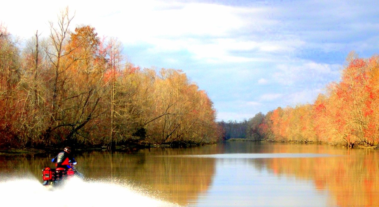
BC: One visit to the site will show that it is nothing more than a free database for the recreational rider looking for something new or different. The site showcases trails, by state, with the data being offered by an individual that recorded the trail. Whenever possible, we also supplement the trail with all the pertinent waypoints that you might find or need when navigating the track: Marinas, ramps, fuel, food & beverage stops, the local island/sandbar hangout. Additionally, and whenever possible, each trail will also display a “Report” or “Video” button (written, pictorial, video or a combination) of what you may expect on your ride, based on another’s previous experience. Nearly half of the trails on the site contain some version of a report and we feel – especially when riding somewhere new for the first time – the ability to know what’s around the corner, before you get there, is a valuable tool.
WCJ: That’s awesome! What can we expect from PWCTrailFinder.com in the future?
BC: Since going live, the site has been fairly static in appearance, but we do have some changes on the horizon that we’re pretty excited about. An in-site search tool is being developed and our ultimate goal is to have all the trails stored live on the site in mapping format: Single click downloading ability (from PC to GPS unit or its memory card). Of course, we’re always looking for new trails and eventual expansion into the upper mid-west and western states.


