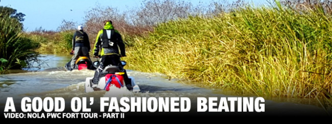
[Welcome to the next chapter in my ongoing pursuit of recording New Orleans military history by PWC; a random journey across water and time that began here. – Billy Crews]
This was not an easy ride and certainly not a route configuration I would have conceived. But am I glad I went? Absolutely! Thank you Axel and Michael for letting me join your small armada for launching yet another amphibious assault on a selection of NOLA Forts.
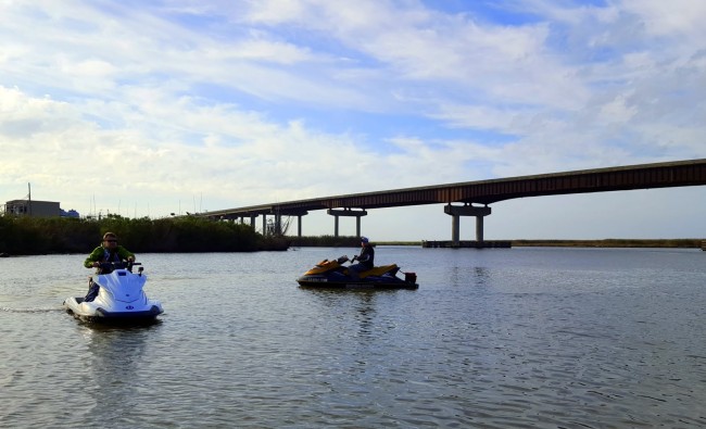
We had an early start, arriving at the Delta Marina in Empire, LA, about 65 miles below NOLA (New Orleans, LA). Engaging a local fisherman pre-launch, he noted our skis and I offered up our plan: A quick out and back trip down river to see Forts Jackson and St. Phillip, each on opposite sides of the river. Then a decision, based on wind and seas, to travel to Fort Livingston on West Grand Terre Island.
The feedback was positive: The river was no problem. Fort Livingston? The outside leg to Grand Terre is shorter, but the seas could make it rough. If we traveled on the inside – across Barataria Bay – the trip would be longer but more protected. And we could also run the risk of running aground in shallow waters or oyster reefs.
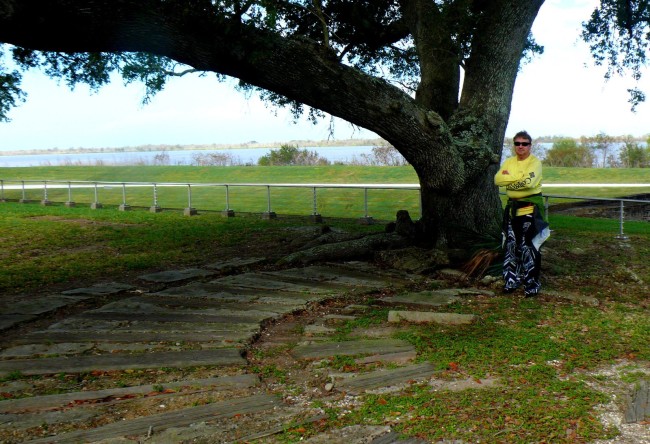
We launched and immediately locked through to the Mississippi River and proceeded down river. The water was mild and the traffic light. Our first leg was ten miles and we soon arrived at Fort Jackson. While the fort had origins dating back to 1793, the current design is from 1822. We hiked the large brick fort, inspected numerous features and recorded the area with our cameras.
Crossing over, we headed for the east bank. Unlike the west bank, there is no levee on this side of the river. The river is breaking through the marsh at this point, and the bayou, at nearly a foot lower than the river stage, had fast a moving current with large whirlpools here and there. We let the skis drift in the current and out of the river using the throttle to navigate around fast moving eddies. Next, we found the small ditch that accessed the rear of the property and a few minutes later had arrived at Fort St. Phillip.
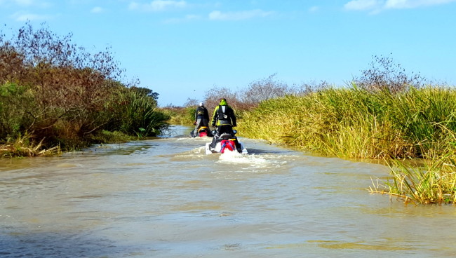
Despite the ease with which it can be reached, Fort St. Phillip was the highlight of the trip. The site’s origins date back to colonial Spanish Louisiana and had been expanded upon for well over 100 years. The entire site has fallen victim to neglect and the forces of nature: What hasn’t been destroyed by storms and flooding is quietly sinking into the marsh. At over half a mile long, the fort’s area is huge and one could spend an entire day doing nothing but inspecting the various bunkers and batteries. We allotted ourselves one hour and did what we could with the time at hand.
Back on the skis, we routed back north, locked out of the river, and arrived back at the starting point. Mike and I each topped-off the Doos; Axel declined as he had 5 gallons riding on the back and still had plenty on the internal tank of his naturally-aspirated Yamaha. Axel checked his beta and reported a one-to-two foot swell eight seconds apart. We decided that was flat enough and Axel led the trio due south to the Empire Jetty.

Two miles down the run, Axel, for some reason ran off the center line. Consulting my Garmin GPSmap 76CS, I stayed put and Michael joined me. Axel finally came back, pointed at his GPS and once again went on point. A few miles later, the jetty came into view and the Gulf of Mexico (GoM) just beyond. It was at this point Axel went wide right, off the center line again.
According to my GPS, despite all the water within site, Axel was traveling across land. I stuck to the marked route I had plotted on my ’76, Michael followed, and a few minutes later we had lost Axel on the horizon. He had never looked back to notice we weren’t following any more. He eventually stopped, found us in the open water, and reported a GPS glitch. No worries – our target was due west, I was locked on the route, and west we went.

The buoy data reported a correct swell; what it didn’t report was the one-to-two foot white caps on top of and in between every crest. The further west we traveled the worse it became. At exactly twelve miles – and half of the twenty-four mile open water crossing we had to make – Mike’s ski (my loaner) threw a “Check Engine” error code. It could have not happened in worse place, naturally. Mike killed the ski, cranked it over, and the code cleared. I told him keep going and don’t stop ’till it stops. Further west we went and still no relief.
What started as a “let’s go see how bad it is” turned into “we can’t turn back now, we’re over halfway.” West Grand Terre, Fort Livingston, and the populated Grand Isle finally came into view. And the seas got a little more rough. Before finding the calm water behind the island, we all took waves over the handlebars and got a face full of cold, salty water. “OK,” I grumbled. “I’m really not having fun now…”
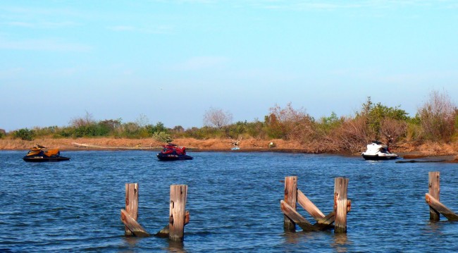
We idled around the back of the fort, near the moat, where the water was shallow but firm on bottom. We anchored the skis and hiked across the water and accessed Fort Livingston via the collapsing rear outer wall. What was once going to be another great brick fort was never completed. Now, unattended or maintained by the state, Fort Livingston is slowly being repossessed by the GoM. We quickly inspected the fort inside and out, recorded the moment and hastily fled the bug-infested island. All three of us had a terrible time fending off swarms of mosquitoes and I shudder to think what life must have been like for members of the garrison.
It was decision time: The sun was on it’s way to finishing its arc across the sky and we had a possibility of a ski going down. We would go back on the inside across Barataria Bay. We decided the seas couldn’t be much worse and, in the event of a breakdown and losing sunlight, we could find shelter on one of the numerous O&G rigs. Mike and I crossed the channel to Grand Isle and made a quick top-off at the Sand Dollar Marina. We had left Axel behind as he dumped his five gallon jerry can. Meeting back out in the channel, I took the point and across Barataria Bay we went.
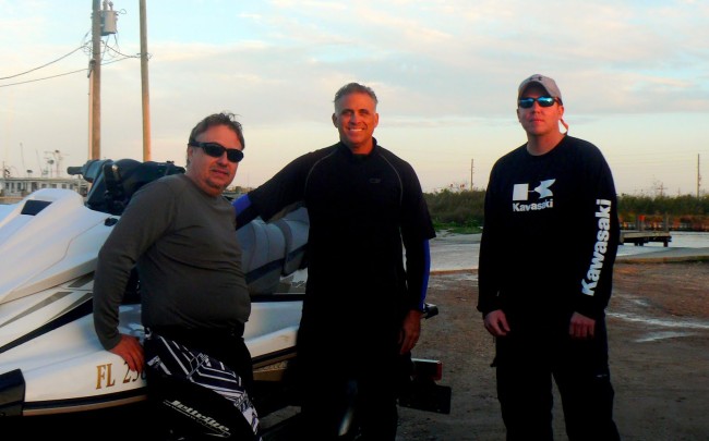
Our first leg was due north and for the most part we ran nearly parallel with the one-foot chop. But after eleven miles the chop became a real nuisance. We finally made the northern terminus and I swung due east, following the lines on my ’76. Our next leg was more or less dead into a fifteen knot wind and every whitecap it brought with it. I would occasionally look over my shoulder and with every glance I found Michael and Axel dead in my wake. We were mindful of the possibilities of shallow water – there was no sense in being three wide when one could make the mistake for the other two. Fourteen miles and two sore kidneys later, we had finally crossed the big, bad, Barataria without incident.
Once we gained Grand Bayou and its ever so smooth glass water, I came to a halt and motioned Mike and Axel over. I had a request: When we get back to the marina, please beat me good – I don’t want to leave here thinking I had not been beat bad enough! Suffice it to say, the twenty-five miles of bay crossing on top of the GoM stretch had taken its toll on me. I think it’s safe to say we all felt the same.

Travelling south in Grand Bayou, we eventually found Adams Bay and navigated according to the white PVC pipes marking the edges of the oyster reefs. And there are square miles of oyster reefs – where the white pipes are your friends and should be well minded. When we arrived at the marina, it was near 4:30PM and we had completed a 102 mile trek. We had a just enough sunlight left to take care of trailering the skis and preparing everything for our individual long rides home – to more central Louisiana, to south Mississippi, and to the panhandle of Florida.
Was this a great ride? The fact that three riders came from three states in the month of December says it all. Will I do this ride again? Hmm… I’ll have to get back with you on that one.
“NOLA PWC Fort Tour – Part II” Trip Report by Billy Crews. Pictures and videos by Billy, Michael, & Axel. Post production video: a Barrier Island production by Michael King


