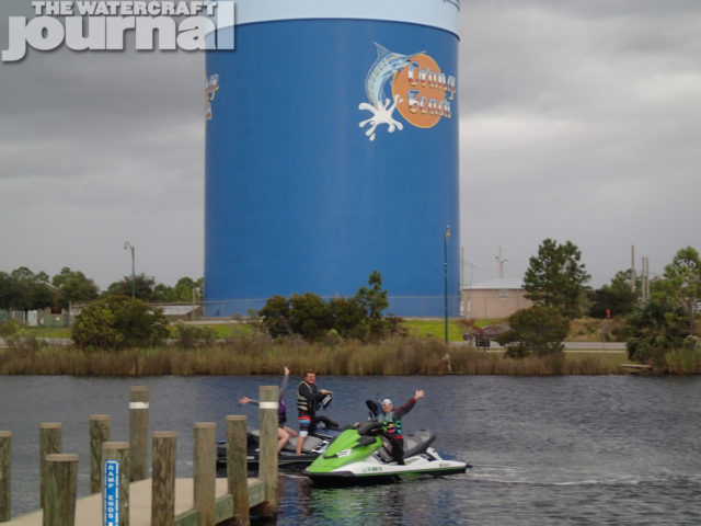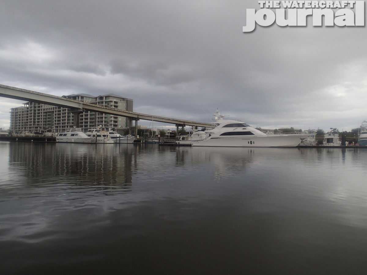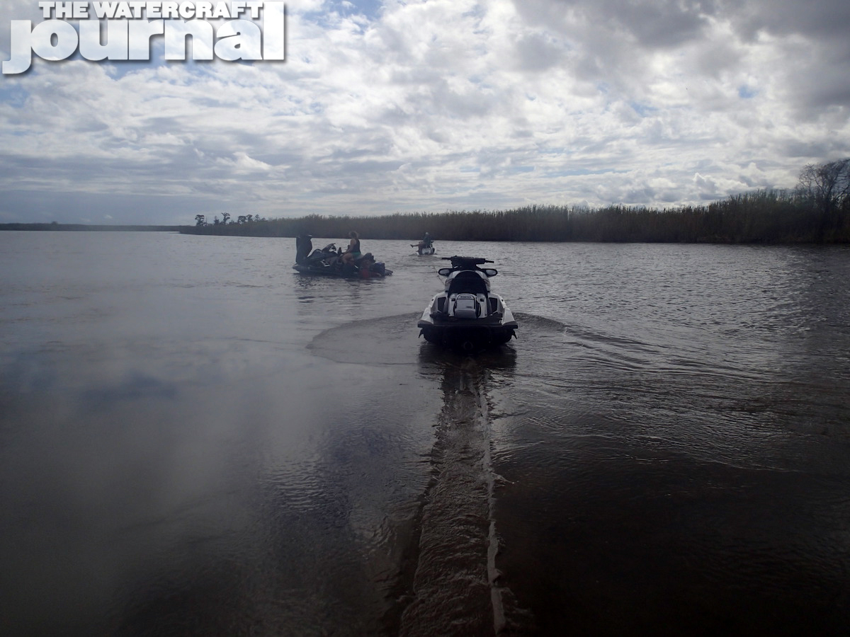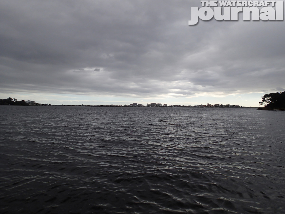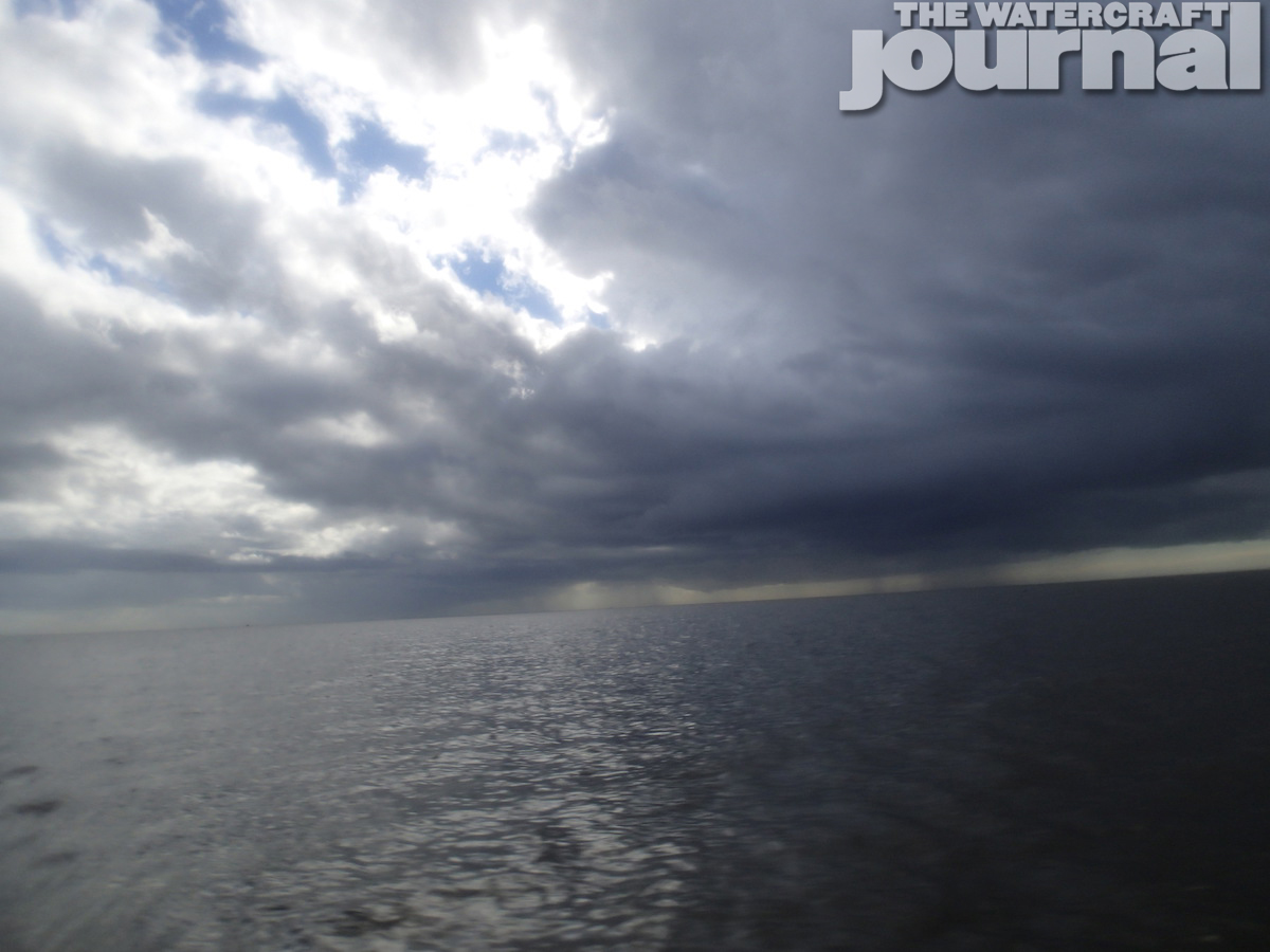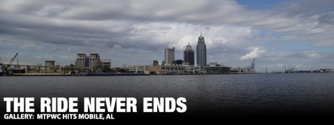
Just because we are finished with our scheduled rides for the season doesn’t mean the adventure stops; many of us continue to ride through the winter exploring new bodies of water and scoping out potential destinations for a group rides. A few weeks ago, a group of us traveled down to Orange Beach, Alabama, for the weekend to check out the local waters. Our home for the weekend was Sunswept condos; it afforded us a great view of the Gulf! The weather conditions during our stay was 65 degrees, overcast and a small craft advisory posted the entire weekend. With that, we decided to contain most of our riding to the GICW (Gulf Intercostal Waterway), a chain of inland passages along the gulf coast from Carrabelle, Florida to Brownsville, Texas.
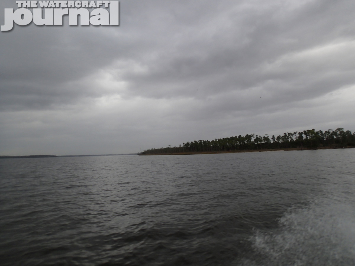
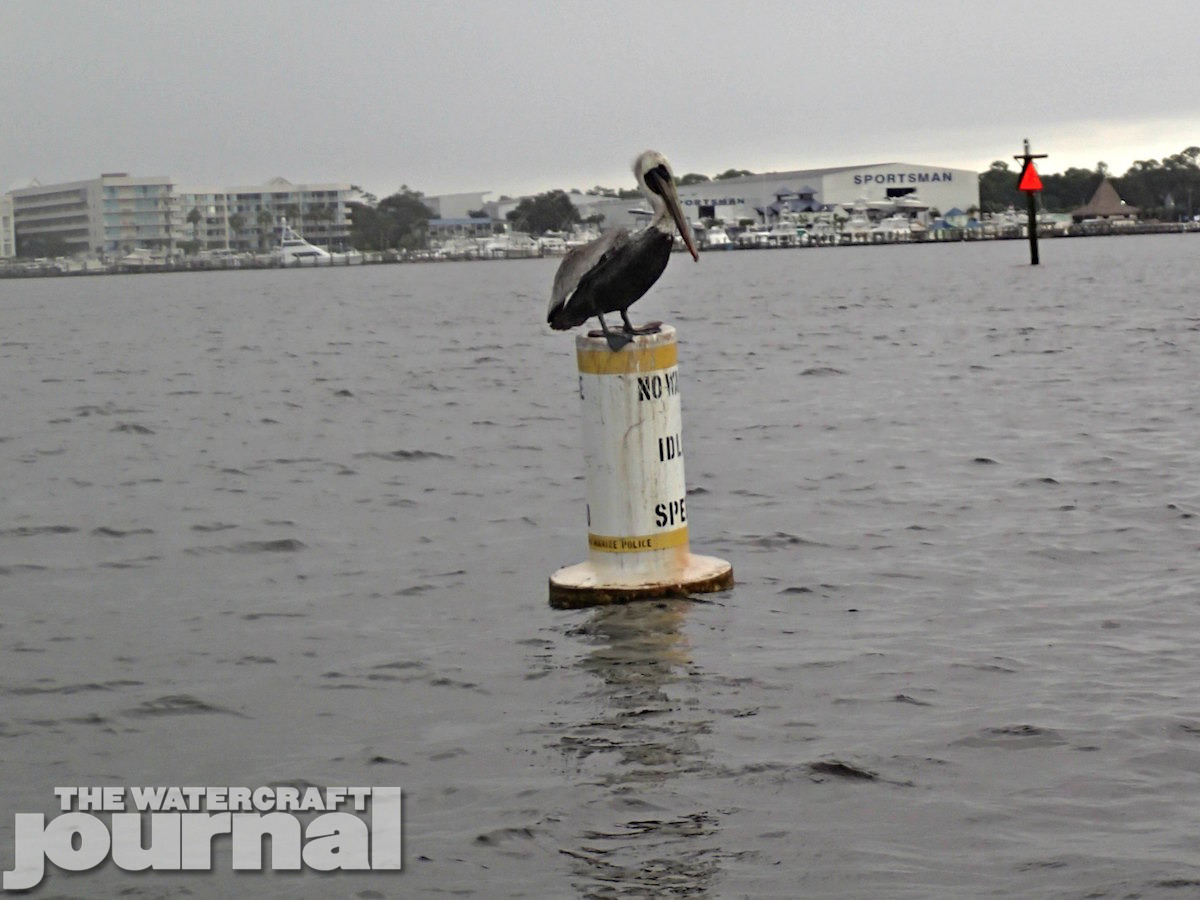
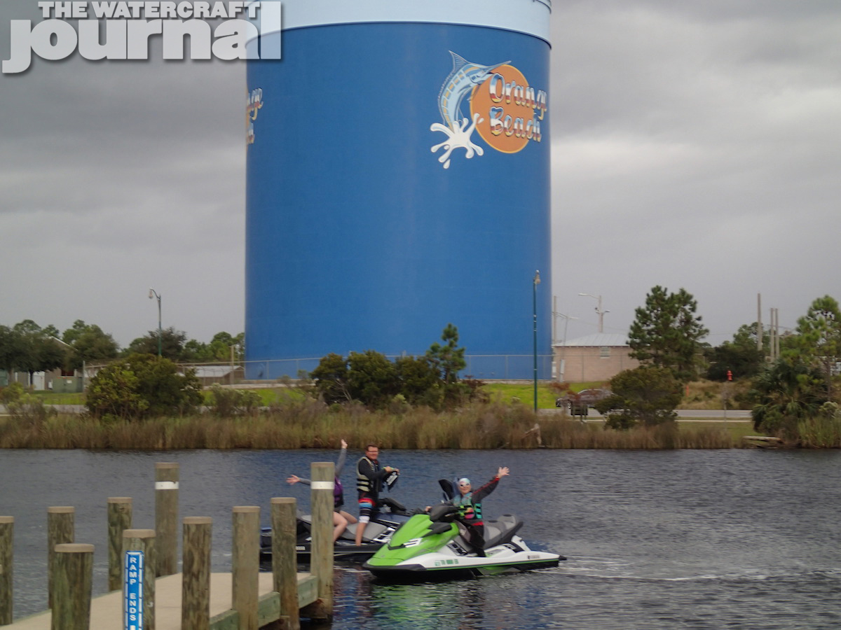
From our location there was a free public launch ramp just about a mile’s drive called Cotton Bayou Boat Launch. There was ample room for parking, a double launch and the local police had eyes on it. Our ride plan for Friday was to go from Orange Beach to Mobile. Mobile is Alabama’s only port city, the 9th largest port in the US and is a 63-mile one-way ride from our location. As we pulled away from the launch area, the No Wake zone was brutal as it covered all of Cotton Bayou – an excruciating five miles! Finally, we made it out to the channel into Perdido Bay and headed northwest across several smaller bays until we found the entrance to the GICW. Nestled in the back and far western end of Wolf Bay, the water had been rather choppy so the protected passage was a welcome relief.
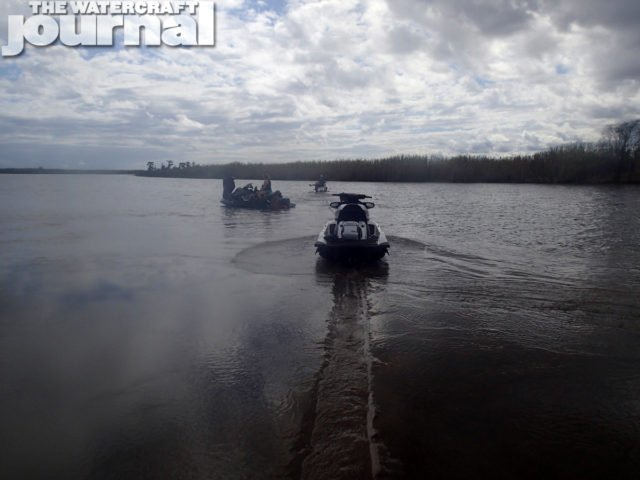
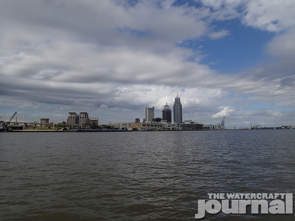
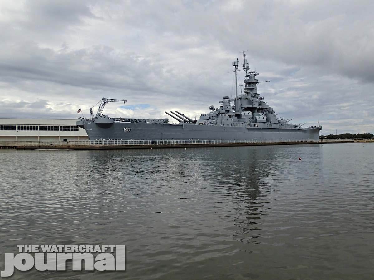
If you have never chosen to ride the intercostal you are missing some pretty cool sights and some very smooth water. Yes, the barrage of No Wake zones are a pain but it wasn’t too bad in this section. We stopped at the entrance to Mobile Bay for a water break. We had traveled 23-miles from the ramp. It was pretty early in the day and Mobile Bay looked calm. This was great news! From here it was another 36 miles to our destination, the USS Alabama. We are use to the rivers we generally transverse around the eastern US and this was a big change. We headed northwest across the bay. The water was really nice with a one foot chop. We had to be constantly adjusting our course to avoid rain showers moving across the bay. After about 20 minutes of riding we could barely see the Mobile skyline rising on the horizon. As we continued it became larger and larger.
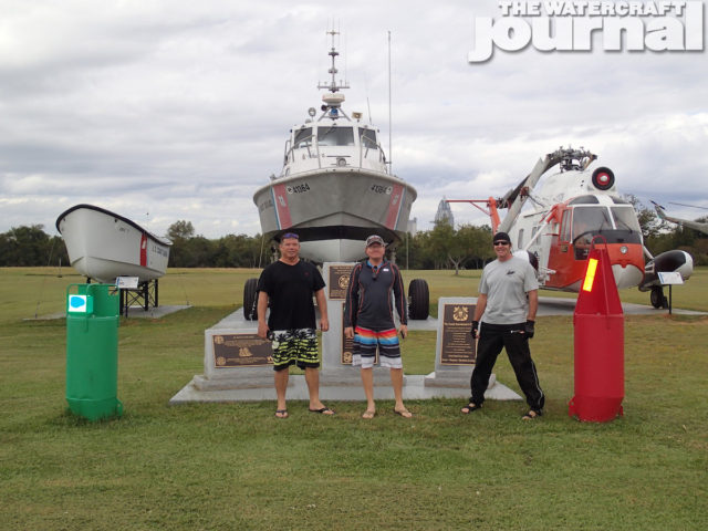
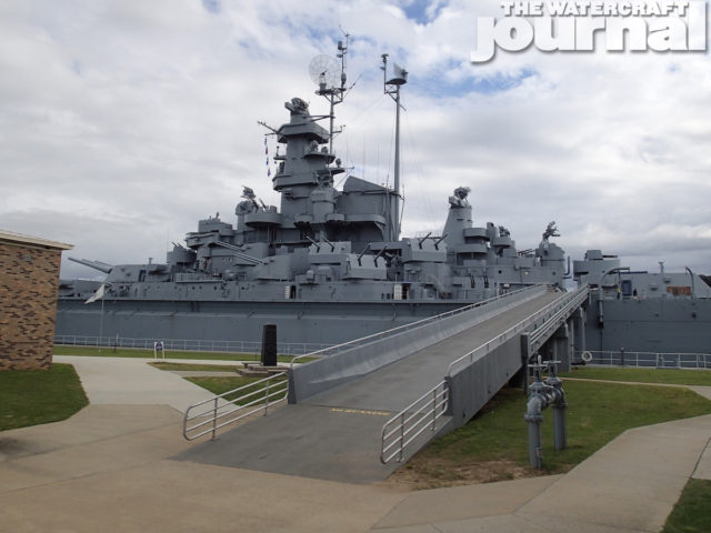
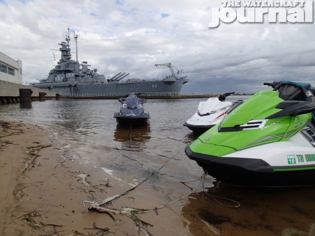
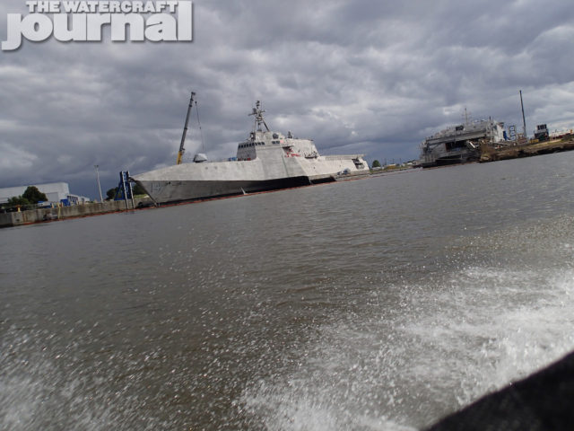
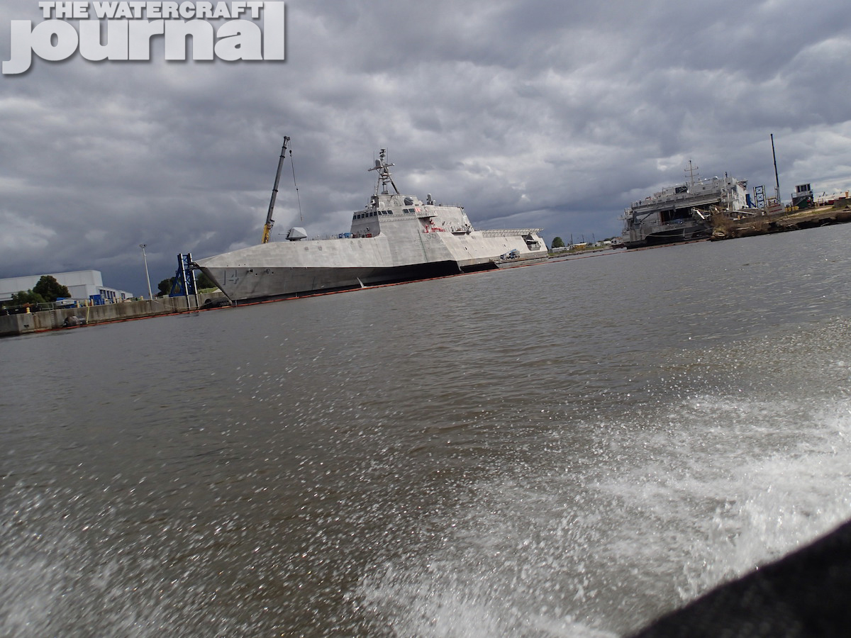
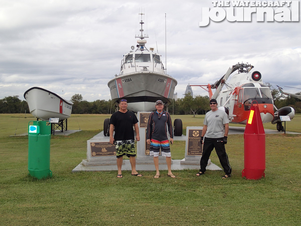
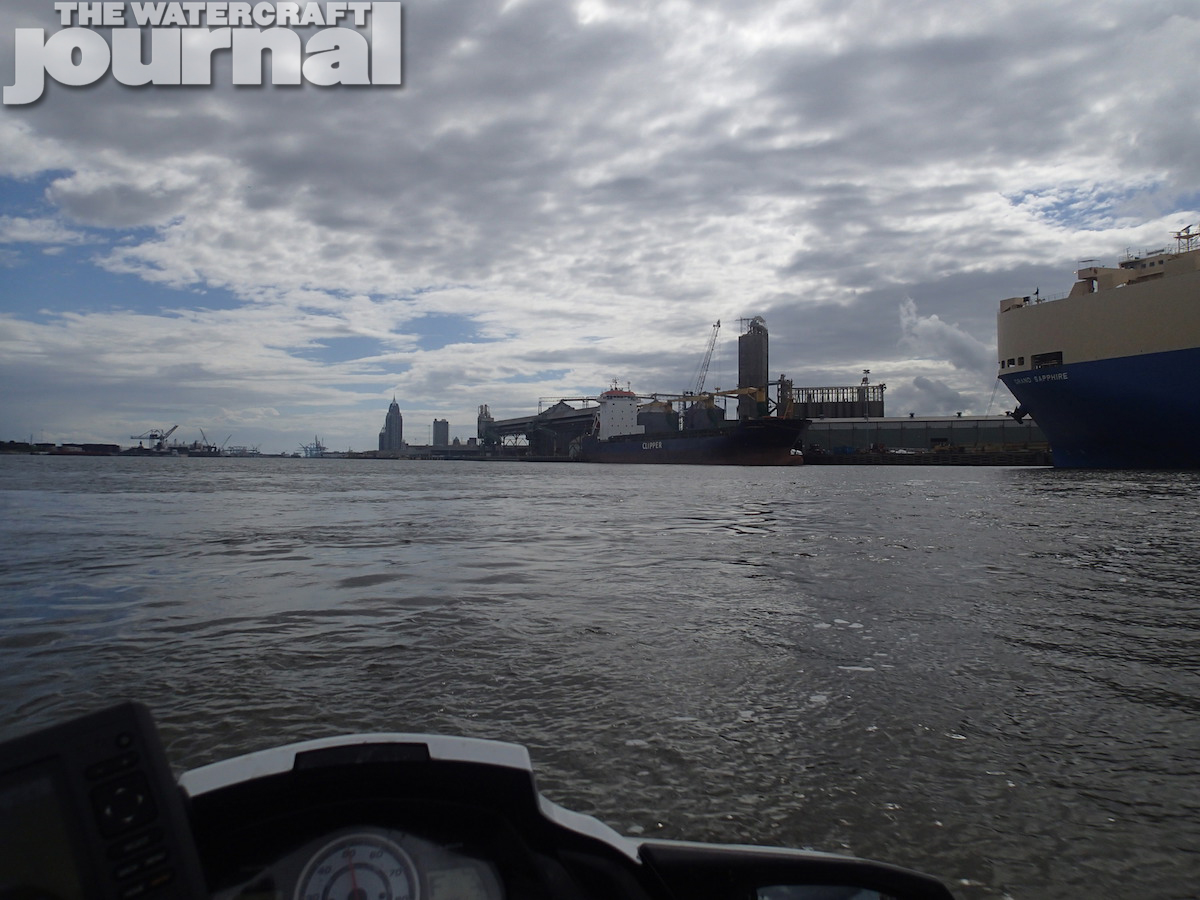
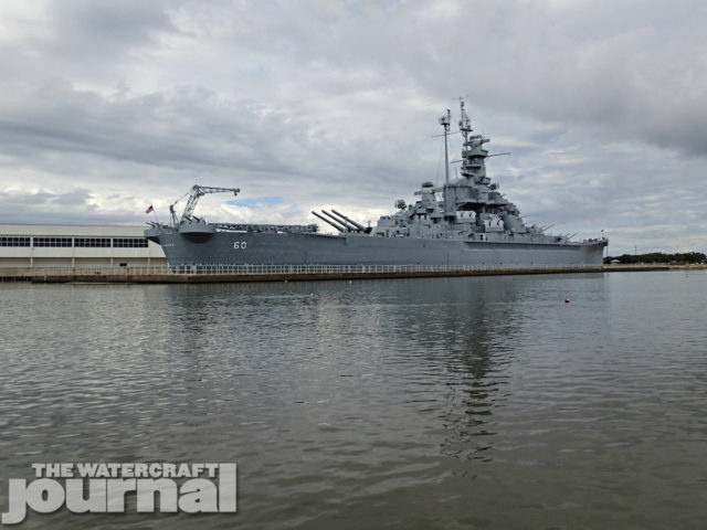
Still out running the rain, we were now up against the western shore. We passed the entrance to the port of Mobile and continued until we reached the USS Alabama. How awesome it was to be able to ride up to this magnificent warship. After a photo, we beached our skis next to a private launch on the property and took time to walk the grounds and visit the ship’s store. We returned to the skis just in time to see them get plummeted by the “Duck” – an amphibious tour vehicle – as it entered the water. Luckily we were there to recover our boats. From there we headed back to the entrance of the port (Mobile has a rich in military ship building history, with ships having been built since 1917, including the new Littoral Combat vessel). The Port of Mobile is also the end of the Tombigbee Waterway, a short cut to the Gulf and ends up back in our home waters in Tennessee.
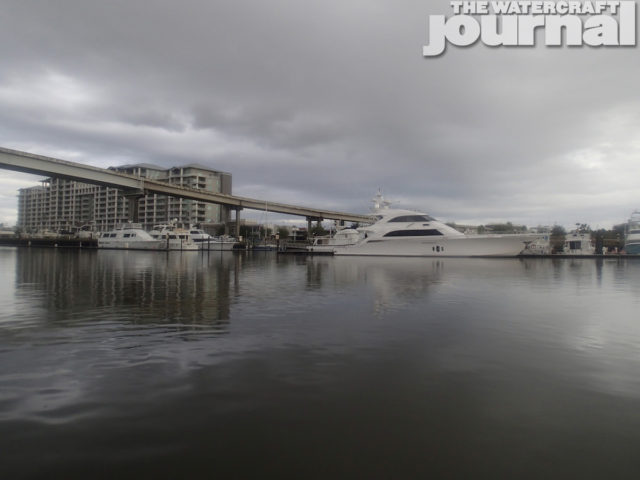
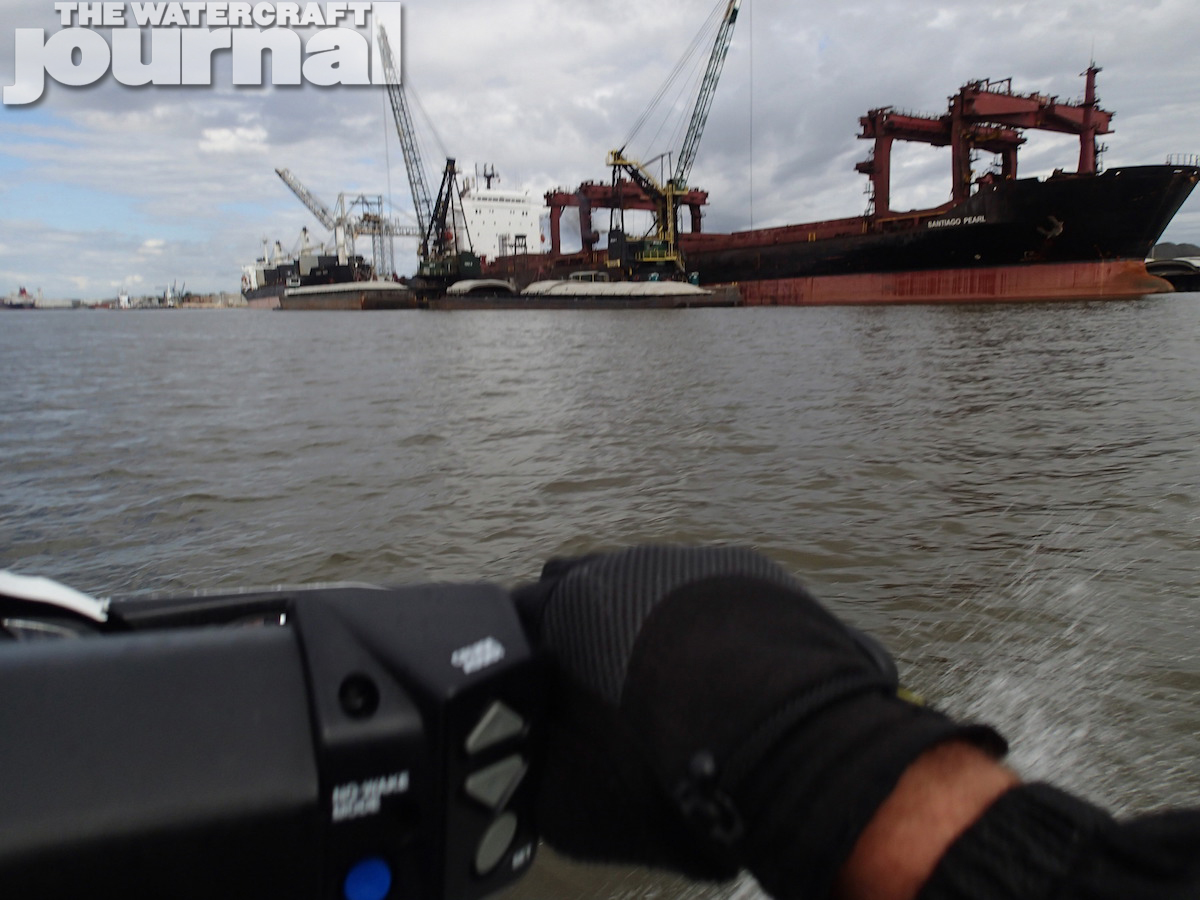
As we cruised up the waterway, it was bustling with workers on barges and ships from all ports of the world unloading cargo. We passed three new war ships under construction and are sure Big Brother had eyes on us. As we continued towards Downtown Mobile and under the bay bridge, my plan was to swing back into Silver Creek and come back down to the USS Alabama, but I miscalculated the entrance, which was a 180-degree around a power tower and found myself 100-foot deep in 8-inches of water. I reluctantly spent the next hour pulling my way back to the freedom of deeper water. After this, we decided to play it safe and return the way we came. We had traveled eight miles up the Tombigbee and needed to go back eight miles and then another seven miles to the nearest fuel, which was up the Dog River.
I knew we were pushing the fuel limits of our skis and breathed a sigh of relief when we approached the fuel dock. We just traveled 84 miles on a single tank – this was the best range I have ever got and it couldn’t have come at a better time! After we fueled all the skis, had a candy bar and a drink, we needed to head back. It was getting late in the afternoon and we had another 60 miles to the launch ramp. Pulling out of the Dog River back into Mobile Bay the wind had picked up and the one foot chop now was two-to-three foot chop. We tried to find the best line but there was none. We had to just grin and bear it. We made the most direct path possible back to the entrance to the GICW and when we arrived took a needed break. From here back to the launch ramp was a pretty smooth ride. Arriving back at the ramp as the sun was reaching the horizon was a beautiful sight. All in all the ride was an excellent day trip and I would highly recommend the journey; the many great sights and varying water conditions made for a great day!


